Tag Archives: GIS
UM-Flint student veteran discovers geographic information systems, earns national recognition

Sometimes life pulls you off one path and points you toward another. That's exactly what happened to one student veteran who discovered geographic information systems, known commonly as GIS, through the University of Michigan-Flint's College of Innovation & Technology. Christopher Mayes of Auburn Hills, Michigan, served his country for four years as a motor transport[…]
UM-Flint professor, team of writers create multimedia guide for Michigan exploration
In the fast-paced age of technology it can be difficult to slow down and get to know your surroundings, but one University of Michigan-Flint English professor with a team of 40 writers including alumni, are working to make it easier. Mary Jo Kietzman, associate professor of English, wanted to see if it was possible to[…]
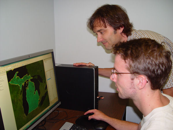
UM-Flint professor uses GIS to research foraging in Detroit
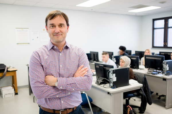
If the Earth's population exceeds its carrying capacity during the next 100 years, one of the most important questions will be how to support the food needs of the planet. Greg Rybarczyk, associate professor of geography at the University of Michigan-Flint, is currently investigating that query by researching an often overlooked food resource: edible natural[…]
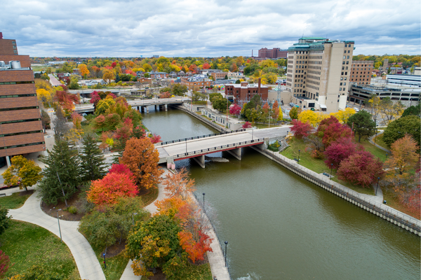
UM-Flint research team establishes citywide weather sensor network
A research project launched last December by the University of Michigan-Flint's Department of Natural Sciences and the Office of Economic Development's Geographic Information Systems Center is turning up the heat on its plan to examine heat-related risk in urban environments. Now partnering with the Mass Transportation Authority, the team, led by Martin Kaufman, UM-Flint professor[…]
UM-Flint research team examines Extreme Heat Event risk reduction in Flint
A project from a professor in the Department of Natural Sciences, Dr. Martin Kaufman, and the Office of Economic Development's Geographic Information Systems (GIS) Center is tackling the risk of Extreme Heat Events (EHEs) in Flint. The one-year project hopes to set an example of how to examine heat-related risk in urban environments. An Extreme Heat[…]
Three UM-Flint Departments Will Join Effort to Improve Flint's University Corridor
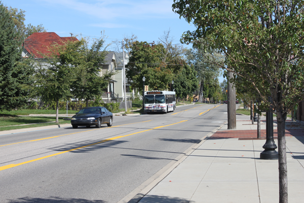
Three University of Michigan-Flint departments will assist efforts to create a safe, walkable University Avenue corridor with the help of a $1 million federal grant to Kettering University that will support neighborhood revitalization efforts. UM-Flint's departments of Earth & Resource Science and Public Health & Health Sciences will share about $100,000 of the federal grant.
UM-Flint's Geographic Information Systems (GIS) Day: Seeing the World from New Perspectives
GIS Day is a grassroots event that serves to promote and increase access to the powerful tools available through the new UM-Flint Geographic Information Systems Center (GISC), including analysis techniques, cartography, and geospatial technology.
University of Michigan-Flint to Open Geographic Information Systems Center
Geographic Information Systems consist of computer software programs capable of inputting, displaying, and analyzing any data with location information, and the means to produce maps from those data.