UM-Flint research team examines Extreme Heat Event risk reduction in Flint
A project from a professor in the Department of Natural Sciences, Dr. Martin Kaufman, and the Office of Economic Development's Geographic Information Systems (GIS) Center is tackling the risk of Extreme Heat Events (EHEs) in Flint. The one-year project hopes to set an example of how to examine heat-related risk in urban environments.
An Extreme Heat Event is a technical term for the abnormal heat waves experienced in the summer. The U.S. Environmental Protection Agency defines Extreme Heat Events as "periods of summertime weather that are substantially hotter and/or more humid than typical for a given location at that time of year." These events can cause heat-related health problems, especially for vulnerable groups.
Titled "A sensor network for monitoring Extreme Heat Events in Flint, Michigan," the project aims to limit the risks for Flint residents.
The project started in December 2021 and will run until December 2022. A $14,955 grant from the Research Creative Activity Small Grant Competition FY 2022 makes the scope of the project possible. It was received through the Office of Research at UM-Flint.
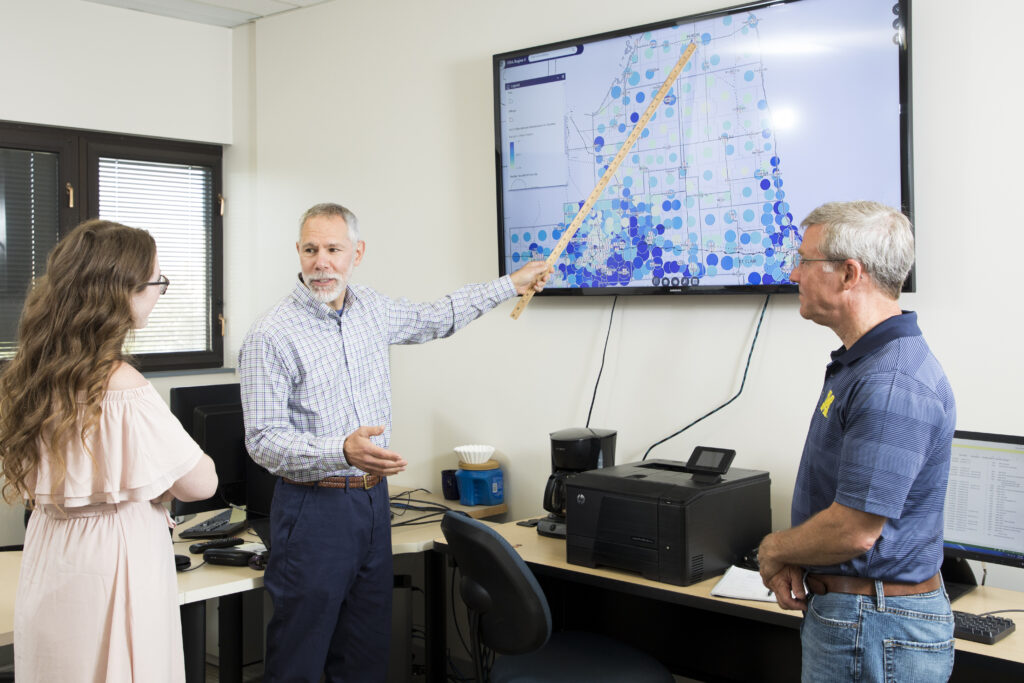
The project team plans to research risk reduction for Extreme Heat Events by identifying the most vulnerable areas in Flint using temperature and humidity sensors, analyzing the sensor-gathered data, and communicating their findings to the public and appropriate emergency management authorities. Sensors will be placed on MTA bus stop signs and be equipped with lights to notify residents nearby if an EHE is occurring. The team will place these sensors throughout the city initially based on sociodemographic data to determine where vulnerable populations live within Flint. Then, based on reported data, other areas within the city will be determined in the placement of new sensors.
Flint is an ideal location for the research due to its urban nature, according to project team leader Dr. Martin Kaufman.
"This type of research is important because global temperatures are rising, placing more people at risk from heat illness," Kaufman said. "Urban areas are especially vulnerable to increases in temperature, since they represent concentrations of heat-emitting vehicles and buildings, and heat absorbing surfaces, such as pavement."
UM-Flint experts and community organizations are joining forces to deliver the project's unique vision. Two undergraduate students at UM-Flint were also given the opportunity to become involved.
The project features collaborators from across the university and the community:
- Dr. Martin Kaufman, Professor, Department of Natural Sciences
- Troy Rosencrants, GIS Center Manager
- Paul Mattern, MTA
- Daniel Kurin, Tyler Technologies
- Undergraduate students
The project has received support from the Genesee County Homeland Security and Emergency Management, the City of Flint, and Mass Transit Authority.
For more information about the GIS Center and its projects, visit umflint.edu/gis.
UM-Flint News
The Office of Marketing & Communications can be reached at mac-flint@umich.edu.