University of Michigan-Flint to Open Geographic Information Systems Center

Besides providing valuable information to student and faculty researchers, a new center under construction in the UM-Flint Earth and Resource Science Department (ERS) could aid local and regional government and private businesses in making important decisions.
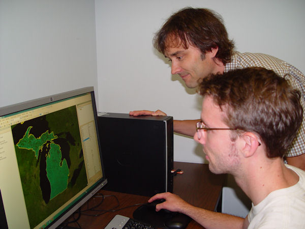
Faculty committees and Provost Gerard Voland recently approved the development of a Geographic Information Systems Center (GISC). Geographic Information Systems consist of computer software programs capable of inputting, displaying, and analyzing any data with location information, and the means to produce maps from those data.
Because of their mapping and analytical capabilities, Geographic Information Systems are used by professionals and academics all over the world to investigate problems ranging from the spread of disease to the damage caused by hurricanes. Locally, they might be used to help figure out where the best location is for a sanitary landfill. They work by manipulating different layers of data, primarily through the process of overlay. For example, if you have a layer of annual precipitation for a given area, and for that same area a layer of evaporation, you can tell if there are going to be water shortages, and where they might occur.
Professor Greg Rybarczyk of ERS will direct the operations of the GISC. The center will provide GIS support services to UM-Flint faculty on their research, and enable students to become more familiar with this technology through research collaboration with faculty working on grants and other service projects. In addition, the GISC will provide training and consulting services to local and regional governments and private businesses.
"The GISC presents another opportunity for UM-Flint to forge new and enhance existing partnerships with other UM-Flint departments, local and regional municipalities, private sector companies, and non-profit organizations," said Prof. Rybarczyk. "Because the center will be student driven, those involved will have a unique opportunity to interact with real clients and enhance their skill-set, which will assist them in entering premier graduate programs or being selected for highly sought after GIS positions."
The center will be in 513 Murchie Science Building, and consist of multiple workstations for GIS applications and a professional-grade plotter for map production. Full operations are scheduled to commence in September 2013.
Related Posts
No related photos.
UM-Flint News
The Office of Marketing & Communications can be reached at mac-flint@umich.edu.