UM-Flint Start of New Bike Trail
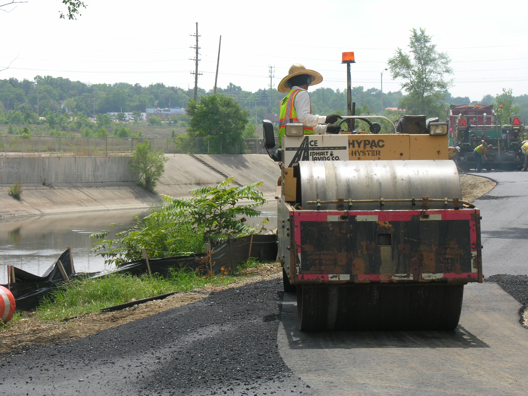
Construction is nearing completion on a new, multi-use, blacktop pathway along the Flint River.
 The pathway will run from downtown Flint near the State Building next to the University of Michigan-Flint Pavilion Rink, west across Saginaw Street, and through the Carriage Town Historic District. It continues west behind Atwood Stadium and along the Flint River and Bluff Street to Kettering University, where it will run along Chevrolet Avenue and University Drive to Sunset Boulevard. It will then cross University Drive to the north side of Sunset and run between Sunset and Mott Park Golf Course to Ballenger Highway, where it will turn north along Ballenger at McLaren Regional Medical Center.
This new trail will provide connections for many users to neighborhoods along the route, bus stops, stores, community facilities, and other existing and proposed trail systems. Users will be able to walk, ride, roller blade, or bicycle from McLaren area to Stepping Stone Falls, and even Geneseeville on Mott Lake via trail systems along the Flint River.
This trail will become a major connection to other similar projects to be constructed within Flint. This section is Phase One of two (2) phases. The preliminary engineering is complete for the second phase, which will follow the Flint River along its north bank to Linden Road through Flint Township.
The trail is about 2.5 miles long, and will officially open around Labor Day.
Here is a link to an abc 12 story about the bike trail:
http://abclocal.go.com/wjrt/story?section=news/local&id=7565235
UM-Flint News
The Office of Marketing & Communications can be reached at mac-flint@umich.edu.